Google Earth Flight Simulator
Google Earth Flight Simulator
📅 December 31, 2007🖥️ Linux / PC / Mac🏢 Google
📋 Summary
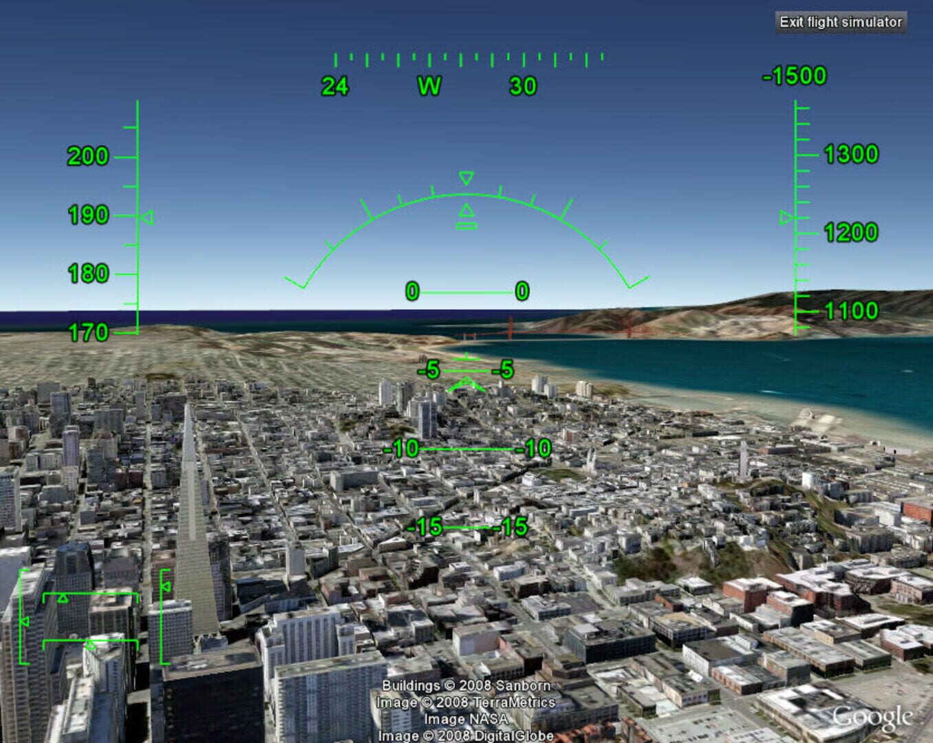
The Google Earth flight simulator is a flight simulator that uses Google Earth satellite images as the ground for a more realistic experience. Depending on the system, it can be accessed by pressing Control+Alt+A, Control+A, or Command+Option+A then pressing enter. After this feature has been activated at least once it appears under the tools menu. Since v4.3, the option is no longer hidden by default. Currently, only the F-16 Fighting Falcon and the Cirrus SR-22 are the only aircraft that can be used, in addition to quite a few airports.
🖼️ Screenshots